
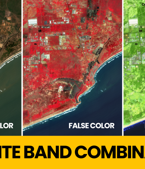
Satellite Band Combinations are extensively used for Image Interpretation to highlight certain feature or to identify a certain material from the satellite imagery. This is […]
Category: Remote Sensing & GIS
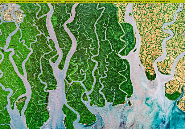
Mangroves: The Unsung Heroes Saving Our World
Climate Change and Global Warming pose a threat to our planet. One of the main reasons is the CO2 emissions resulting from the burning of […]

How to Convert Raster to ASCII in ArcGIS Pro
An old textbook on Satellite Meteorology inspired me to publish this article, How to Convert Raster to ASCII in ArcGIS Pro. In this article we will […]
GIS and Remote Sensing Jobs in Government of India
GIS and Remote Sensing Jobs in Government of India: We have listed out some GIS and Remote Sensing Jobs in Government of India along with […]
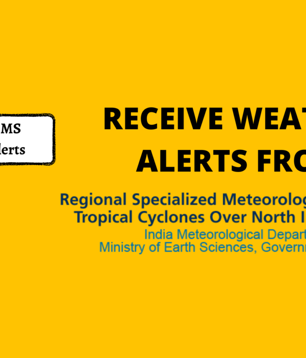
How to get Weather Alerts without Internet in India
Did you know, you can receive timely weather alerts on your mobile even without the internet! Yes, you can now receive weather alerts through short […]